ABOUT JBAA
The name originates from the Canaanite word "Jbaa", meaning hill or highland. The name was most probably given to one particular hill then expanded over time to mark the entire village.
Some Information About El3eleyi Jbaa AlShouf
located on the top of Mount Barouk-Niha at an altitude of 1200 meters
59 km away from Beirut
Population
Number of Families
Municipality words
Dear Friends,
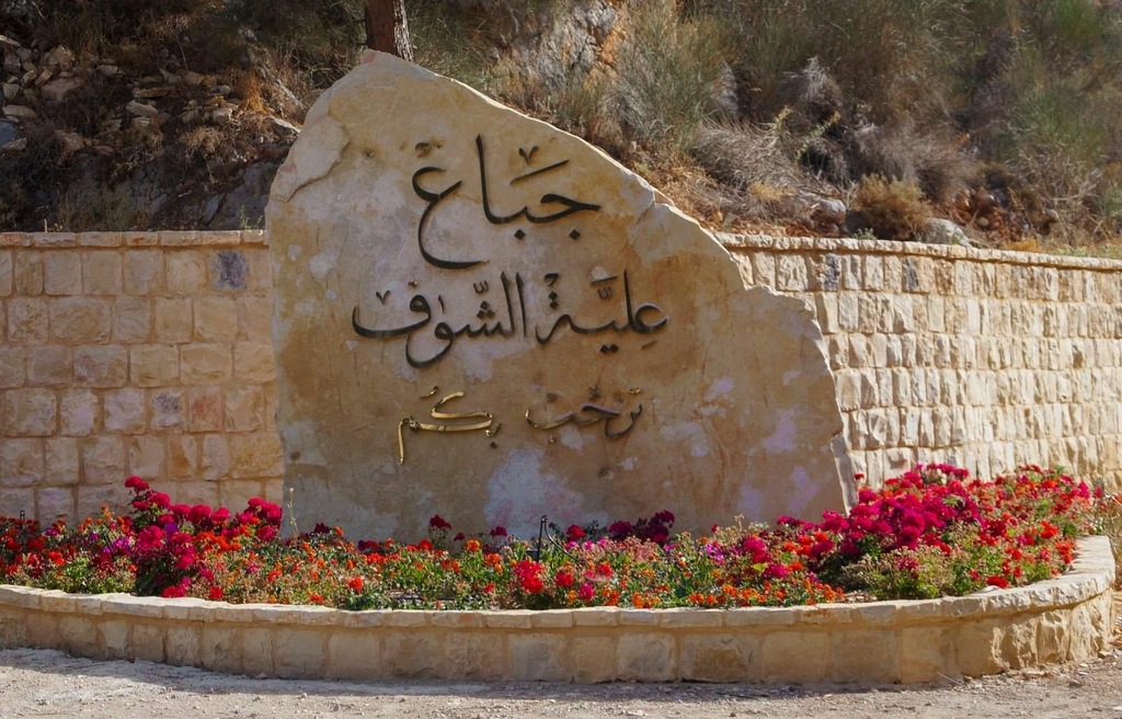
Welcome to our digital doorstep! Welcome to Elleyat Al Shouf “Jbaa”.
I am thrilled to introduce you to this new online hub, designed one clear vision in mind: to create a municipality that thrives on transparency, community engagement, and forward-thinking initiatives.
Our vision extends far beyond brick and mortar; it's about fostering a sense of belonging, pride, and opportunity for each and every one of you. It's about building bridges between generations, cultures, and ideas, to create a tapestry of diversity that enriches our collective experience.
Through this website, we aim to not only streamline access to essential services but also to serve as a catalyst for meaningful dialogue and collaboration. From neighborhood revitalization projects to environmental conservation efforts, your input and involvement are crucial in shaping the future trajectory of our municipality.
Together, we aspire to build “Our Jbaa” where innovation meets tradition and authenticity, where sustainability is not just a buzzword but a way of life, and where every voice is heard and valued.
So, as we embark on this digital journey together, I urge you to explore, engage, and envision with us. Let us work hand in hand to turn our vision into reality, creating a vibrant, inclusive, and prosperous community for generations to come.
Thank you for your trust and support…… Together, we can make a difference
The Trail:
Level: easy to moderate difficulty
Length: 7 km
Average Slope: 7.7% - 9.1%
Duration: 2.5 hours
The trail begins and ends at Jbaa entrance of the reserve – a loop trail.
Towards the Mountain
Level: difficult
Length: 15km
Duration: 4 hours
The trail begins from the entrance of the reserve at Ain al-Shaashou. It climbs to reach the surface of the mountain, going through perennial oak and juniper forests, hence the name of the trail. It overlooks the Bekaa valley and Qaraoun Lake on the one hand and Niha, Jbaa and Mrusti on the other. The trail also passes through a plain that used to be planted with wheat, under which lies the cave of Umm Sulaiman, that was used as a lodging by the threshers.
Location: at the foothill of the mountain of the village.
Story: built during the Mamluk era, renovated in the Ottoman
era, and restored recently. It is made of a long tunnel that
channels the water into an outlet leading to a small yard where
water passes under an agricultural road and pours in a stone
mortar, and then a small basin just before pouring into a large
pond where the water is distributed to the lands of the village
for irrigation.
Attraction: a year round abundant water source with a resting
and picnic area.
Location: on a high hill of the Jbaa Mountain.
Story: all the hill is covered with several ancient rooms that were used in the Ottoman period for herds (goats). The threshing floors in the area (Bayader) gave the place its name. The lower parts of the walls of the buildings reveal the existence of older structures and the pottery found there dates back to the Bronze Age.
Attraction: an overview on the history of the area and its land use.
Location: in the center of the village.
Story: water pours out from two exits, fixed beneath a wall covered with an arch and ending in an ancient stone pond. On the very top of the wall, inscriptions in Arabic are placed indicating that this water source was built in year 940 AH (1534 AD). The source was
renovated and its surrounding courtyard was enlarged through different stages of the 20th
century.
Attraction: water spring that flows throughout the year.
Location: at the eastern side of the village, on a land owned by Dr. Nazem Saadeddine.
Story: the construction technique and the distribution of the installations indicate that it was built in the Roman era. It was used for pressing grapes to produce wine and arak, and
later for the production of molasses, like other presses in the Shouf villages. It includes three
openings which are carved in stone for crushing the grapes. The juice comes out from the
openings through tight spouts, to then pours into smooth stone carved ponds.
Attraction: to learn more about an ancient cultural practice.
Prepare yourself for an unforgettable summer in Jbaa! With a diverse range of events catering to every taste, there's something for everyone. Stay tuned as we unveil all the exciting details!
Where the mountain air meets the warmth of community, nestled in the heights of Lebanon.